So, I’ve got some more work done on the Atlas entries as
well as some tweaks and minor adjustments that no-one other than myself is
likely to even notice and I’m getting closer to finding a style I’m happy with
(though I’m still torn about the mountains, though more on those later.
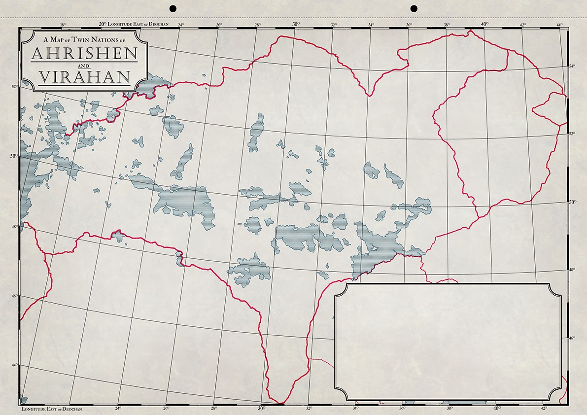
Of these new maps the most complex, by far is the one
detailing twin nations of Ahrishen
and Virahan. This is largely due to
the many lakes, the relatively small scale (compare this map with the one of Ezasuth, for instance), and the fact
that the regions to the west, south-east and east had already been mapped (Vârr, the Haréshk and Nakhé,
respectively) so there was a lot of back and forth between this map and the
older ones to make sure that everything (borders, coastlines, graticules) lined
up and scaled together correctly.
 |
| Ahrishen and Virahan |
I think I done a decent job (though it’s far from done…),
though I realise that the maps are nothing much to look at at the moment and wont exactly be arty maps when they're done - they're political maps, detailing resources, roads, trade routes and such things and are functional rather than pretty,though I hope the Atlas can be seen as a work of art in some respects once its done. Also, the more maps I get done the more time-consuming the task
gets. Also, the more maps I get done means the farther away from my comfort
zone (Inner Sea) I get, which means more terra incognita: the lands around Korachan are very familiar as I’ve been working
on them for coming up to a year now, though the farther afield I move the more
unexplored certain regions become.
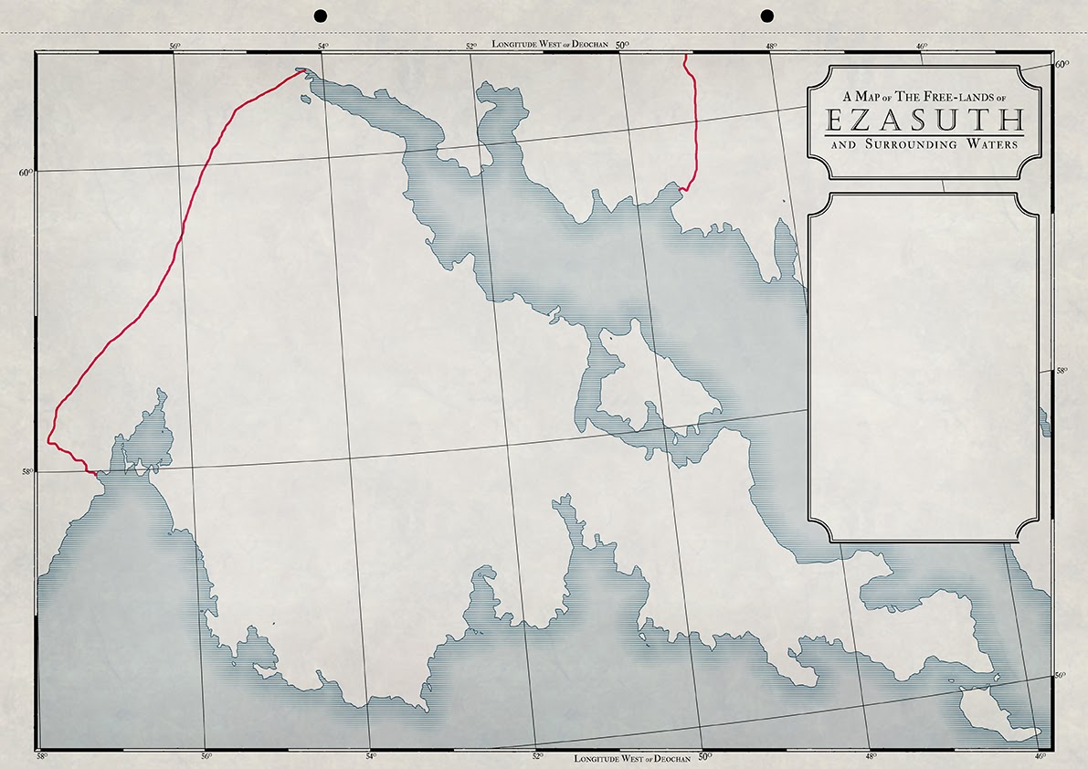
Take Ezasuth, for instance.
This is all I have written about it:
Ezasuth:
nation in Llachatul, just north of
the Sea of Marden. Was home to
explorers who settled lands in the far west of Llachatul, which would later become Ayad, Elat and Gyzha.
 |
| Ezasuth |
That’s it. Pretty scary mapping a nation or which all I know
is two sentences of background, apretty tame background at that. No flavour or
characteristics that scream out as unique quite yet, but I’ll get there. I find
a lot of the worldbuilding (or nationbuilding, as the case may be) comes from
coming up with a rough vocabulary through which I can name regions and cities. History
and background comes naturally as I flesh the geography out and I then build
upon that. Of course creating neighbouring nations brings more history and synergy
which sees a lot of back and forth as I figure out interactions between nations
and peoples.
 |
| Azazem |
 |
| Khamid |
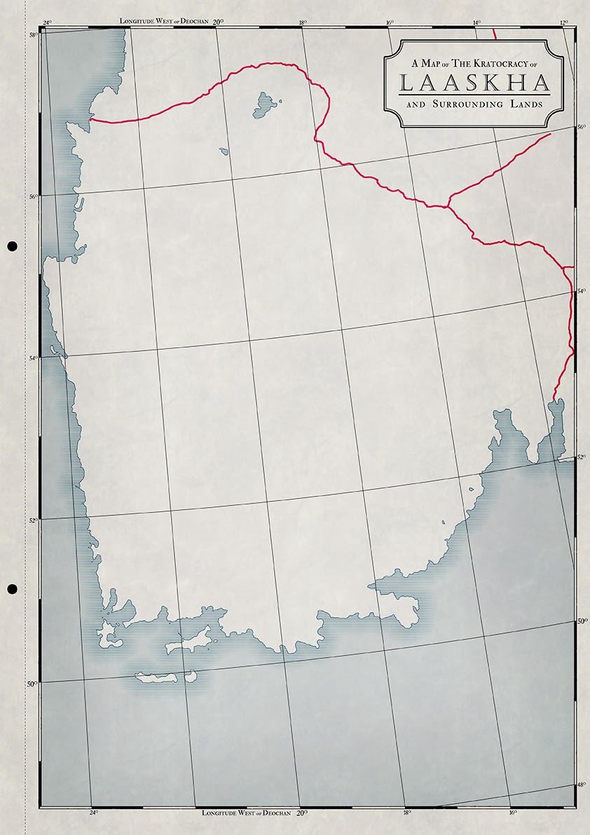 |
| Laaskha |
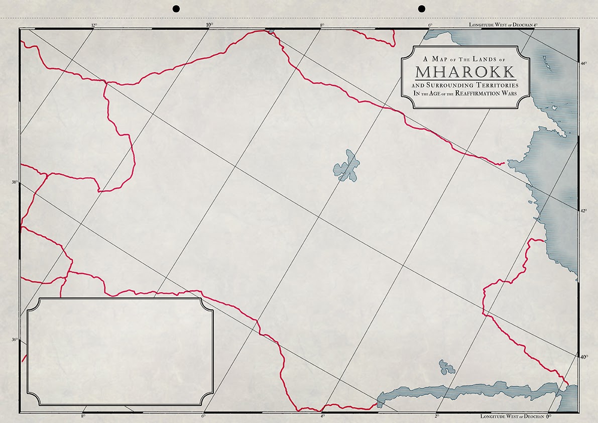 |
| Mharokk |
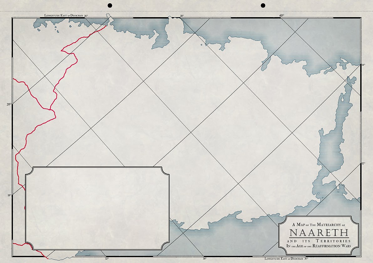 |
| Naareth |
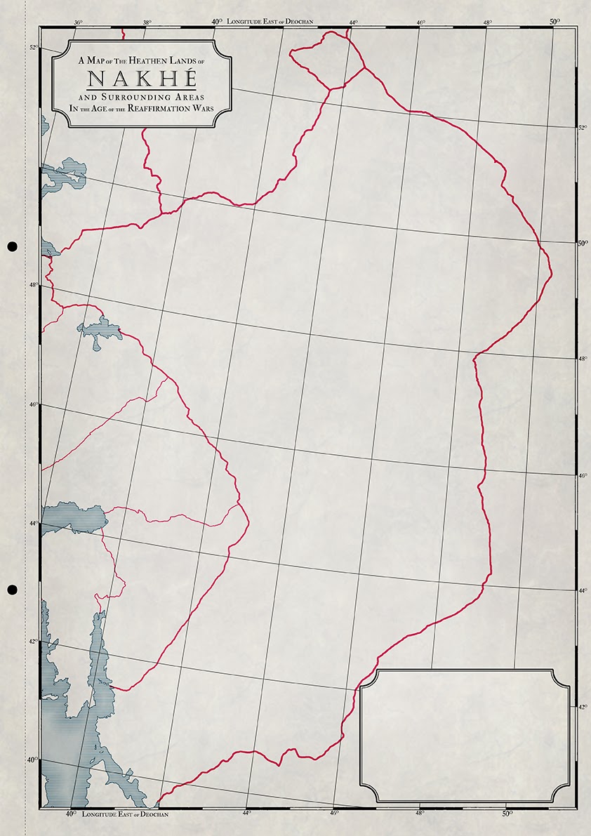 |
| Nakhe |
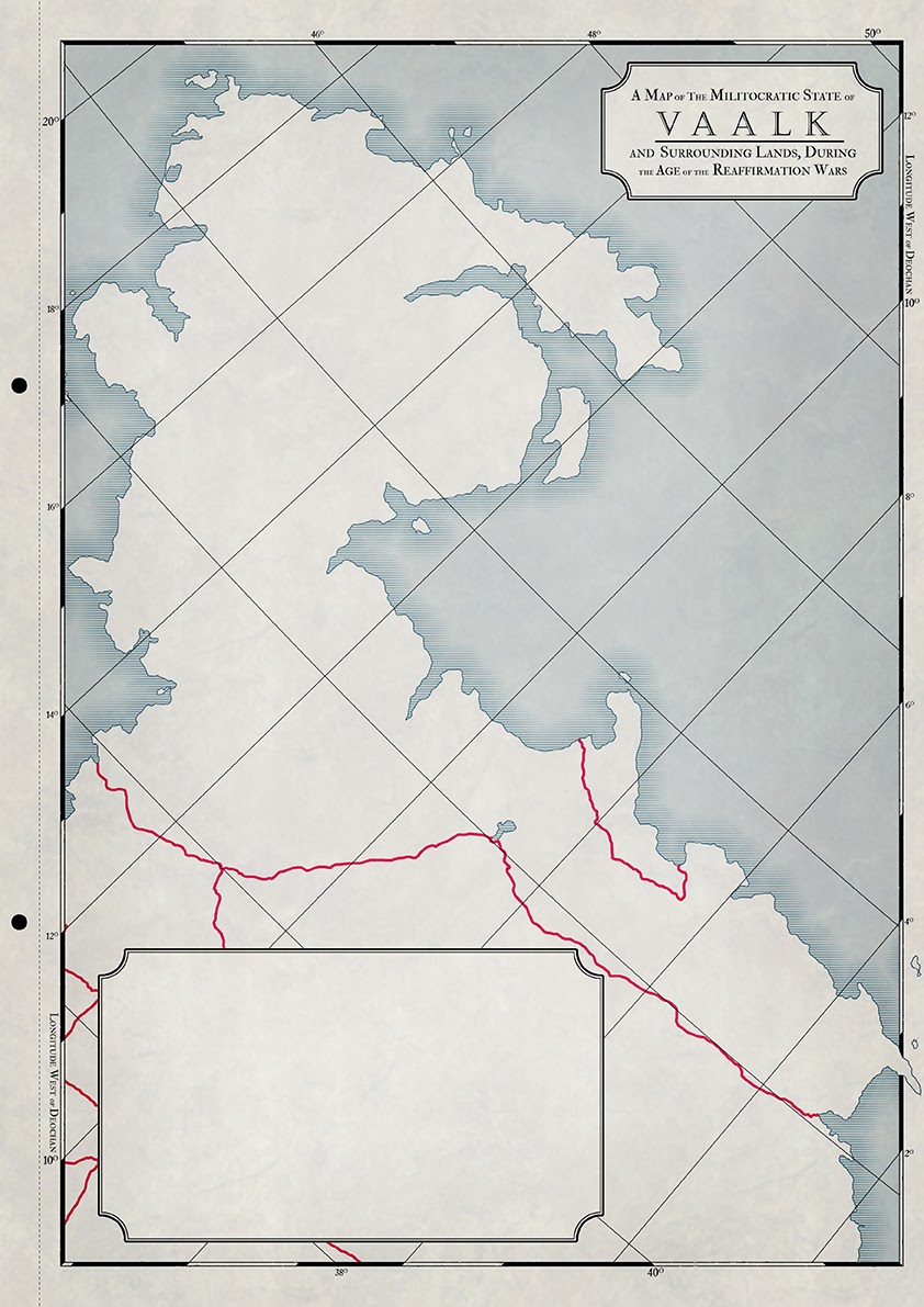 |
| Vaalk |
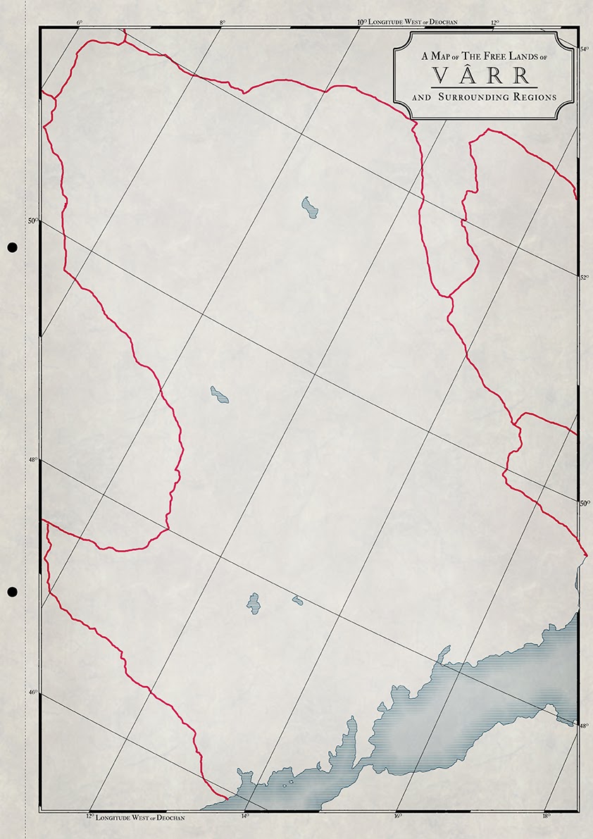 |
| Varr |
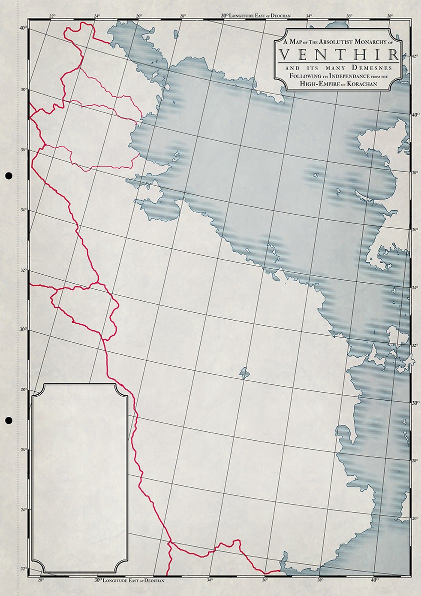 |
| Venthir |
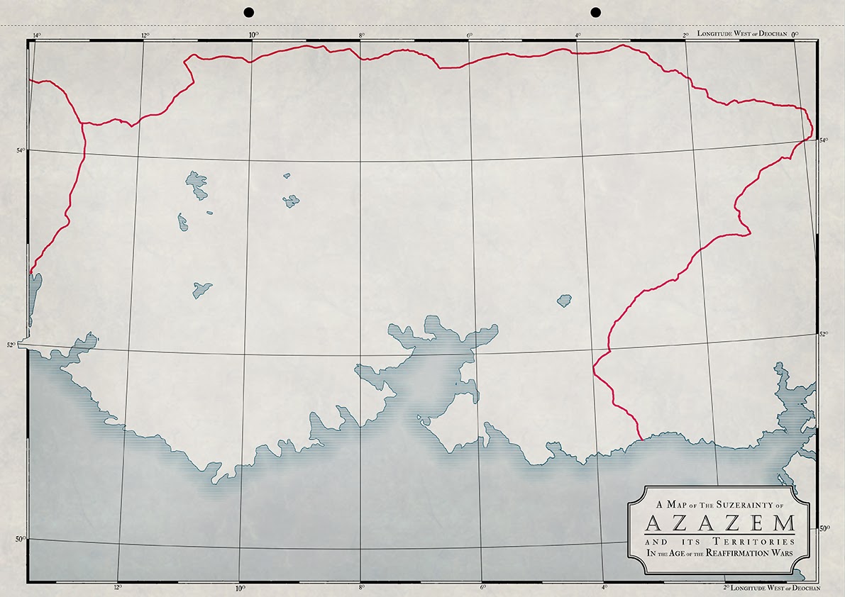
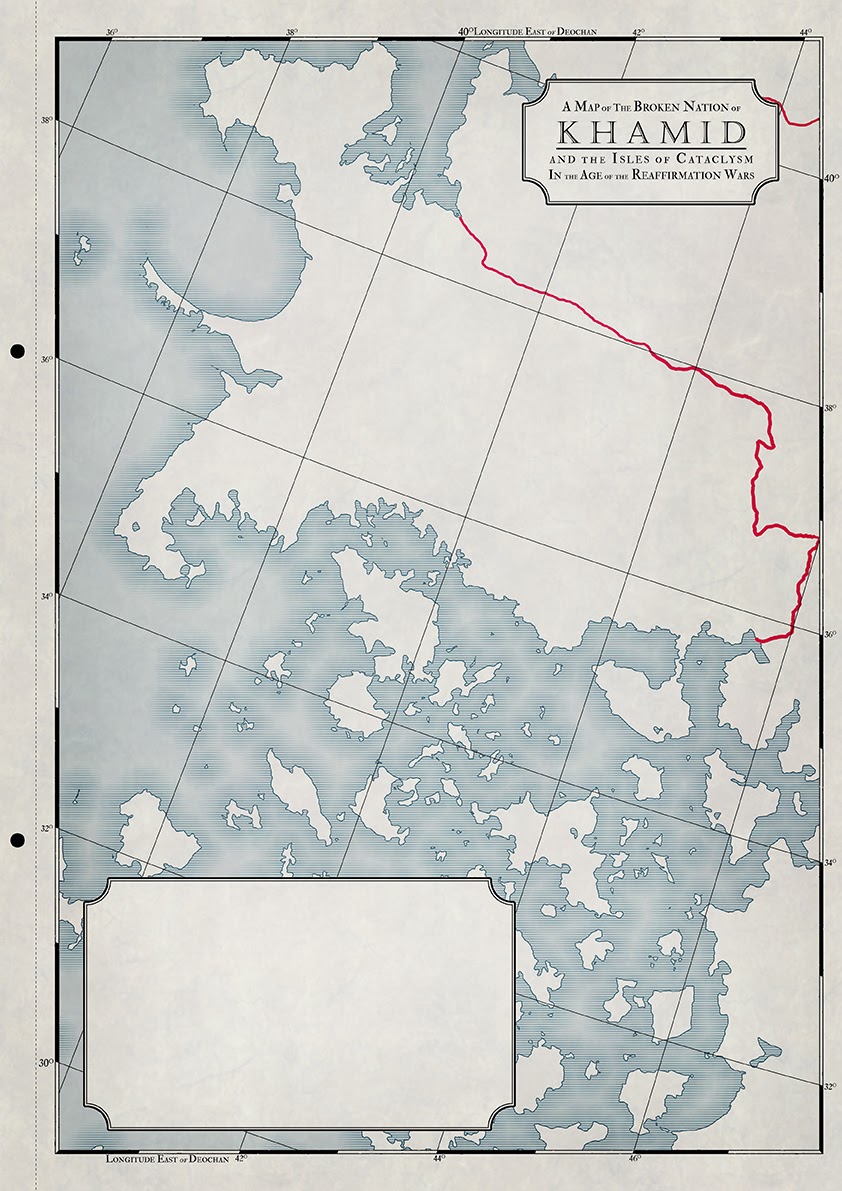
Of the above maps I think my favourites have to be Khamid, Venthir and Tzallrach since they represent neighbouring regions and the distinctive coastlines can be recognised from map to map, despite the differences in scale
***
I’m still unsure about a few things though, largely the territories
and borders (which appear in their most up-to-date form in the
Korachan map I had
posted) and mountains. The territories are fine, though I’d like something with
a bit more texture. The mountains, however are getting me in a right pickle. Initially
I’d though of something akin to the
Dinotopia
map below, which is true to the generic time period though not necessarily
needed for these types of political maps. Though now I’m leaning towards
something more akin to the Mediterranean map posted beneath it. Though that
would entail a lot more work on my part and might make the maps more colourful
and busier than I had originally intended. Decisions…
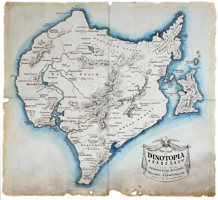 |
| Dinotopia |
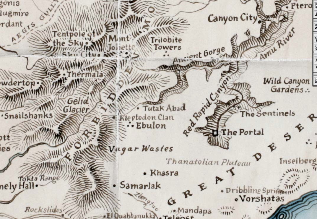 |
| Dinotopia detail - mountains and lettering |


