Showing posts with label Varr. Show all posts

08 June 2016

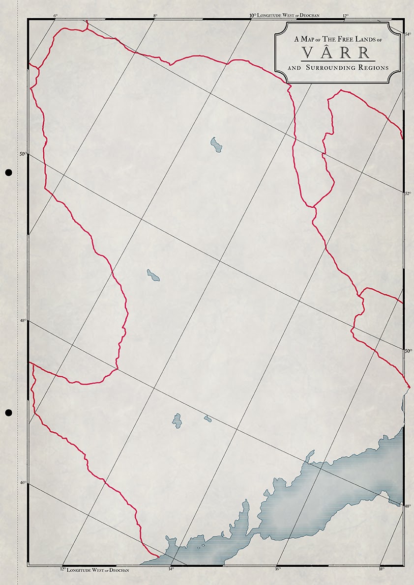
ATLAS ELYDEN #8 - the Free Lands of Vârr

Vârr is an unfortunate place, haunted by the echoes of a past tainted by the actions of a mad god. Vorropohaiah, he was once known as, though his name is now whispered only amongst the most learned of scholars. He was one of the Two-and-Twenty worker gods – the Demiurges. They were abandoned by their creator as punishment for their hubris in creating the mortal races. Vorropohaiah went mad following his divine emancipation and spent his days shaping the features of Elyden into monuments: first to his Father, then to himself, and finally to nothing at all. Many of these ancient monuments survive in the dead parts of Vârr, testament to his godly artifice.

None, however, as famed or feared as the twin wonders of Carceri and the Varrachon. The former is a world-spanning cavern built by the god in the latter days of his insanity. None know its purpose or how even such a monolithic edifice can survive the timeless movements of the land itself, but it simply IS. To descend into its depths is to court madness and the whispers of the languid god, or, if one is lucky, merely death. The latter - the wretched mountain known as the Varrochon - measures no less than 400-miles long and 175-miles at its widest point and is commonly thought to have been created by millions on toiling hands hauling rocks from the construction of carceri into a large valley that in the day dominated the area. over the years the valley was leveled and was slowy turned into the foul mountain we see today.   

In more recent memory, Vârr was occupied by the Korachani empire, which used it as little more than a resource to be plundered. For over two millennia the empire mined its ores, cut down its forest, and fished its seas. IT left no resource untouched and retreated only 300-year ago after taking all it could. Vârr now lives in the shadow of that empire, al and unwanted and uncared for despite its attempts at rebuilding the ruin that Korachan left behind.

A dichotomous leadership – in the form of the priestly Heirogoths and Regent-kings – picked up the pieces left by Korachan. Some of the abandoned quarries and open cast mines are not fully spent, and they work them at great toil to get what they can from the land. Forests stripped bare by Korachan are only now starting to regrow and the Vârrans have learnt to tend to them, careful not to take too much, as the risks of what await over-exploitation are all-too apparent.

the Free Lands of Vârr 


***

So map #8 is done, and with it the journey around the Inner Sea slowly continues. This was a relatively easy map to do – the south west was ready from previous maps (Korachan and Pelasgos), and the region of Vârr itself was pretty well-thought out in my head. This type of map doesn’t do the region justice at all. I have a mood board for this place filled with pictures of grey hills covered in tree-stumps, sprawling open cast mine, industrial pollution, wastelands and other inspiration. It’s a bleak place, but I have a morbid fascination with such things, and that’s really where Elyden came from. Vârr is probably the epitome of what Elyden and the Korachani empire are.
Some of you might recognise the word Vorropohaiah – so now you know where it comes from and what it means J


I've actually made some updates to the maps - making the territories outside the focus map paler. I’ve also made the roads thicker and clearer added a bit of hue/saturation to make the colours 'pop' a bit more.  I also started applying a greyed-out colour to show areas of corruption, which I felt was missing before. I now have to go back and update the older maps to match this one.

***

mosaic


I've also updated the mosaic map to include the latest maps. I've also added a grey-out border showing a poster-map I hope to make of the Inner Sea once the individual nations and regions around its coastline are done. At this rate though I don't imagine I'll even start if for another year or two... If I continue at this rate I might manage 16 maps by the end of the year, which is close to circumnavigating the Inner Sea, though not enough to map all the lands that fill out that area.


Remember, you can support my work on Patreon, where you can gain access to high-res images, textless maps, more stories and background and other exclusives


#Elyden, #Fantasycartography, #Atlaselyden, #Varr


27 February 2014

more Atlas Maps!

So, I’ve got some more work done on the Atlas entries as well as some tweaks and minor adjustments that no-one other than myself is likely to even notice and I’m getting closer to finding a style I’m happy with (though I’m still torn about the mountains, though more on those later.

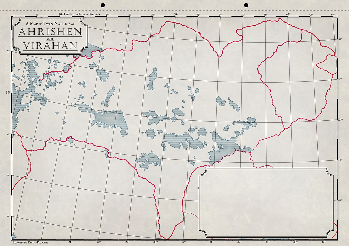
Of these new maps the most complex, by far is the one detailing twin nations of Ahrishen and Virahan. This is largely due to the many lakes, the relatively small scale (compare this map with the one of Ezasuth, for instance), and the fact that the regions to the west, south-east and east had already been mapped (Vârr, the Haréshk and Nakhé, respectively) so there was a lot of back and forth between this map and the older ones to make sure that everything (borders, coastlines, graticules) lined up and scaled together correctly.

Ahrishen and Virahan
I think I done a decent job (though it’s far from done…), though I realise that the maps are nothing much to look at at the moment and wont exactly be arty maps when they're done - they're political maps, detailing resources, roads, trade routes and such things and are functional rather than pretty,though I hope the Atlas can be seen as a work of art in some respects once its done. Also, the more maps I get done the more time-consuming the task gets. Also, the more maps I get done means the farther away from my comfort zone (Inner Sea) I get, which means more terra incognita: the lands around Korachan are very familiar as I’ve been working on them for coming up to a year now, though the farther afield I move the more unexplored certain regions become.

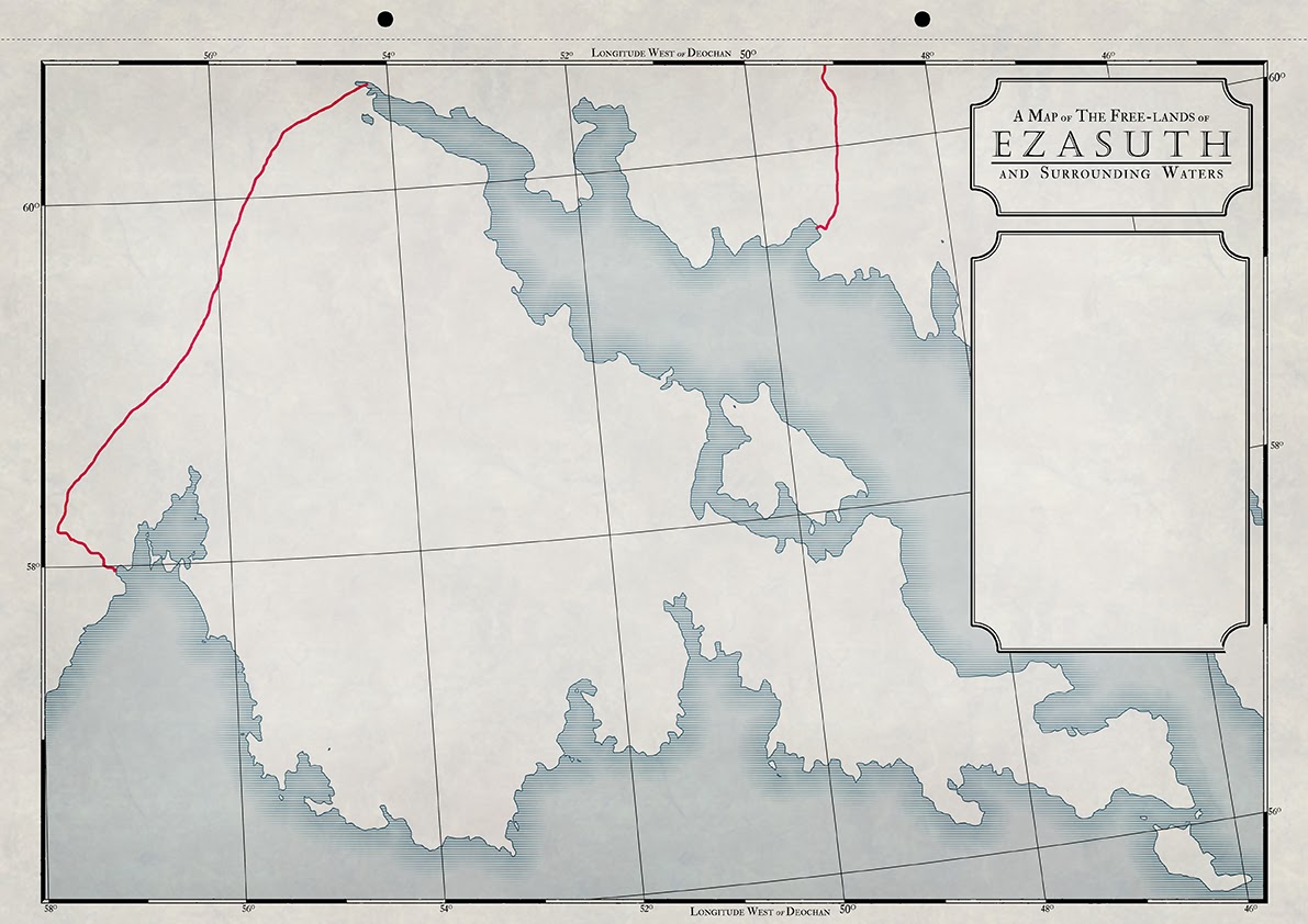
Take Ezasuth, for instance. This is all I have written about it:

Ezasuth: nation in Llachatul, just north of the Sea of Marden. Was home to explorers who settled lands in the far west of Llachatul, which would later become Ayad, Elat and Gyzha.

Ezasuth
That’s it. Pretty scary mapping a nation or which all I know is two sentences of background, apretty tame background at that. No flavour or characteristics that scream out as unique quite yet, but I’ll get there. I find a lot of the worldbuilding (or nationbuilding, as the case may be) comes from coming up with a rough vocabulary through which I can name regions and cities. History and background comes naturally as I flesh the geography out and I then build upon that. Of course creating neighbouring nations brings more history and synergy which sees a lot of back and forth as I figure out interactions between nations and peoples.

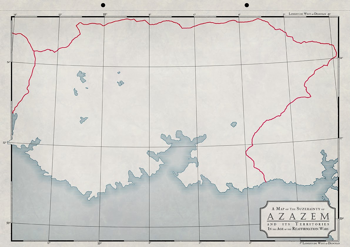
Azazem
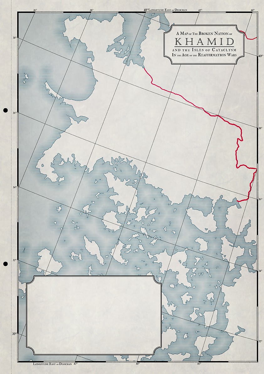
Khamid
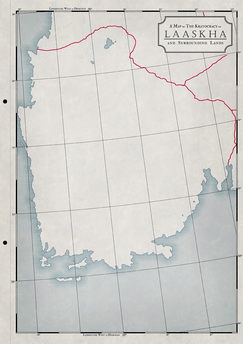
Laaskha
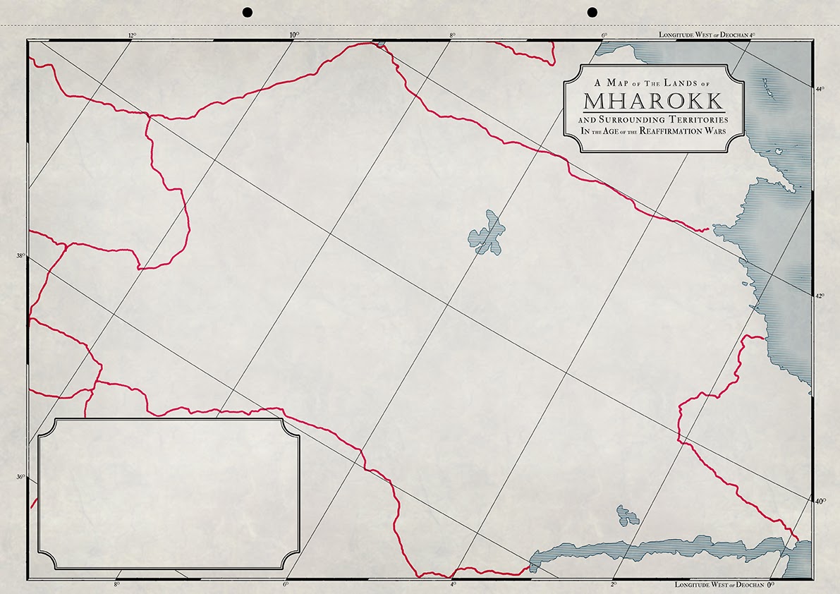
Mharokk
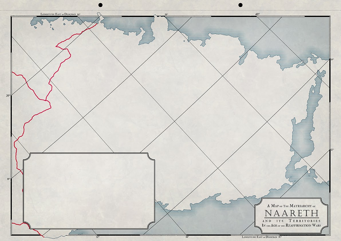
Naareth
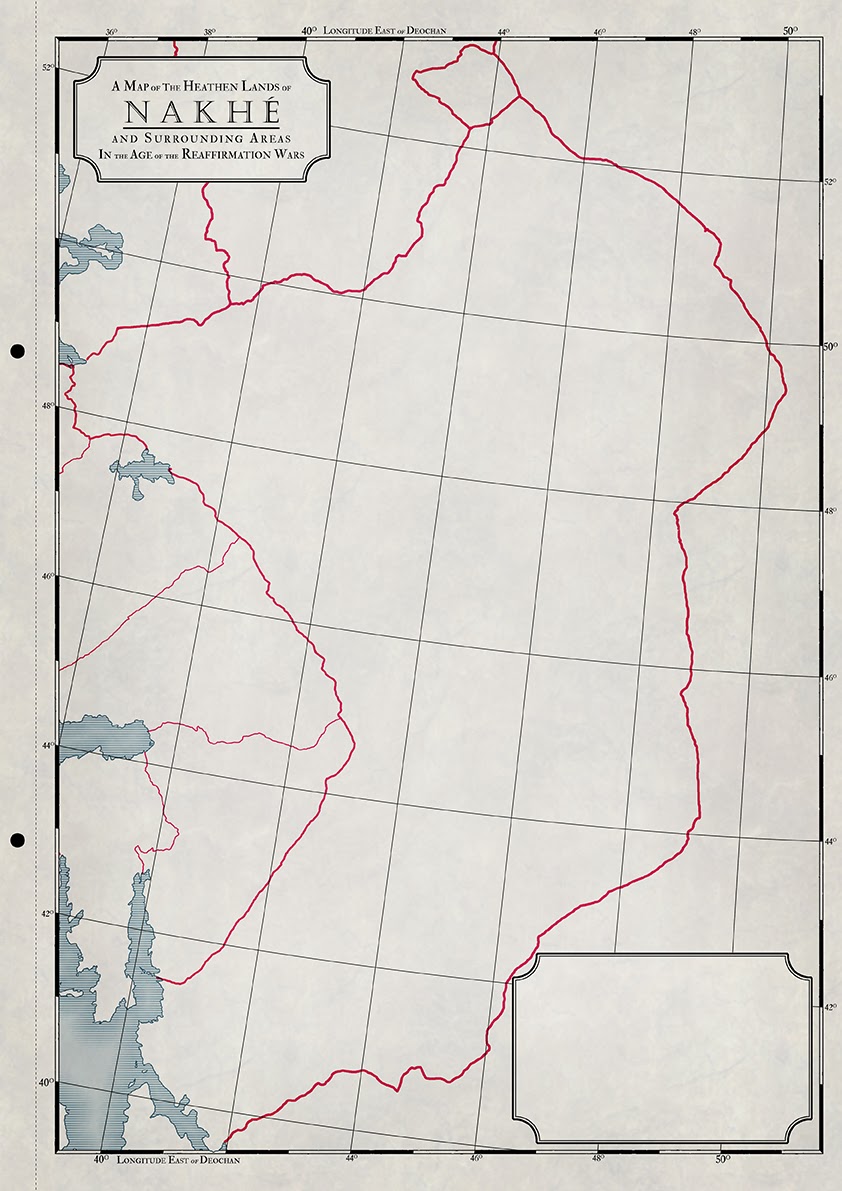
Nakhe
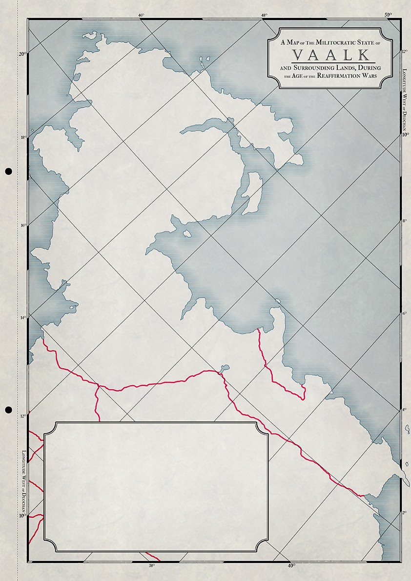
Vaalk
Varr
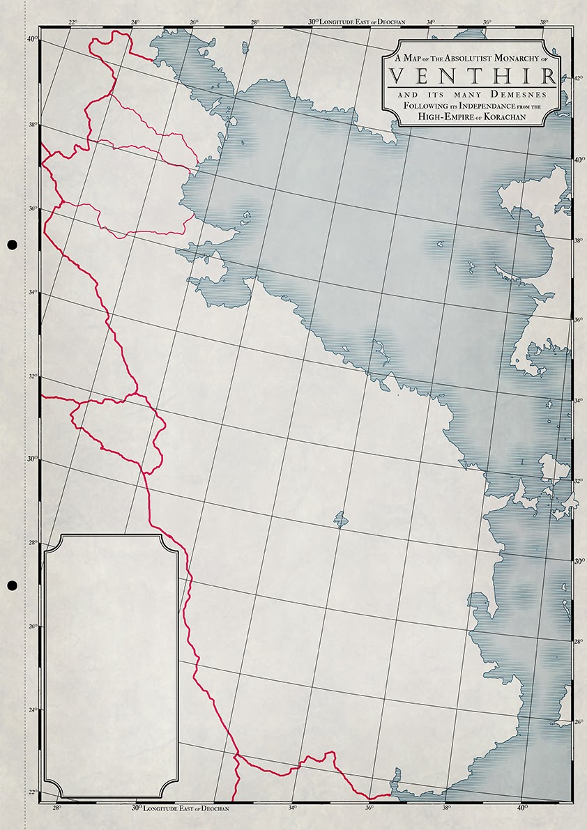
Venthir

Of the above maps I think my favourites have to be Khamid, Venthir and Tzallrach since they represent neighbouring regions and the distinctive coastlines can be recognised from map to map, despite the differences in scale

***


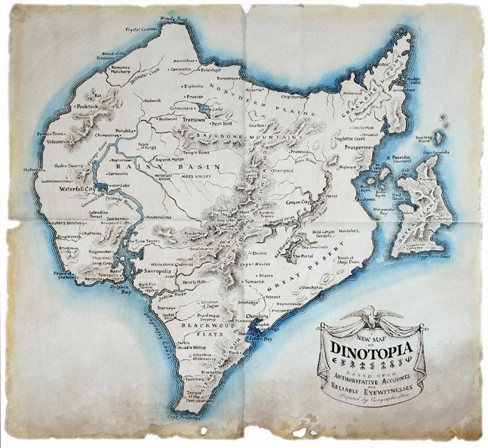
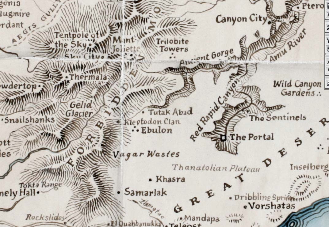
I’m still unsure about a few things though, largely the territories and borders (which appear in their most up-to-date form in the Korachan map I had posted) and mountains. The territories are fine, though I’d like something with a bit more texture. The mountains, however are getting me in a right pickle. Initially I’d though of something akin to the Dinotopia map below, which is true to the generic time period though not necessarily needed for these types of political maps. Though now I’m leaning towards something more akin to the Mediterranean map posted beneath it. Though that would entail a lot more work on my part and might make the maps more colourful and busier than I had originally intended. Decisions…

Dinotopia

Dinotopia detail - mountains and lettering